Find small, species-specific search areas
Compare current species and open the area that fits your trip.
Mushroom app for iPhone and Android
Mycoverse combines forest, terrain, season, rain, soil moisture, temperature and sunlight to highlight areas that may be more promising.
See how Mycoverse worksFindings private by default · Planning tool, not identification or food-safety advice
Developed in Norway for mushroom people worldwide
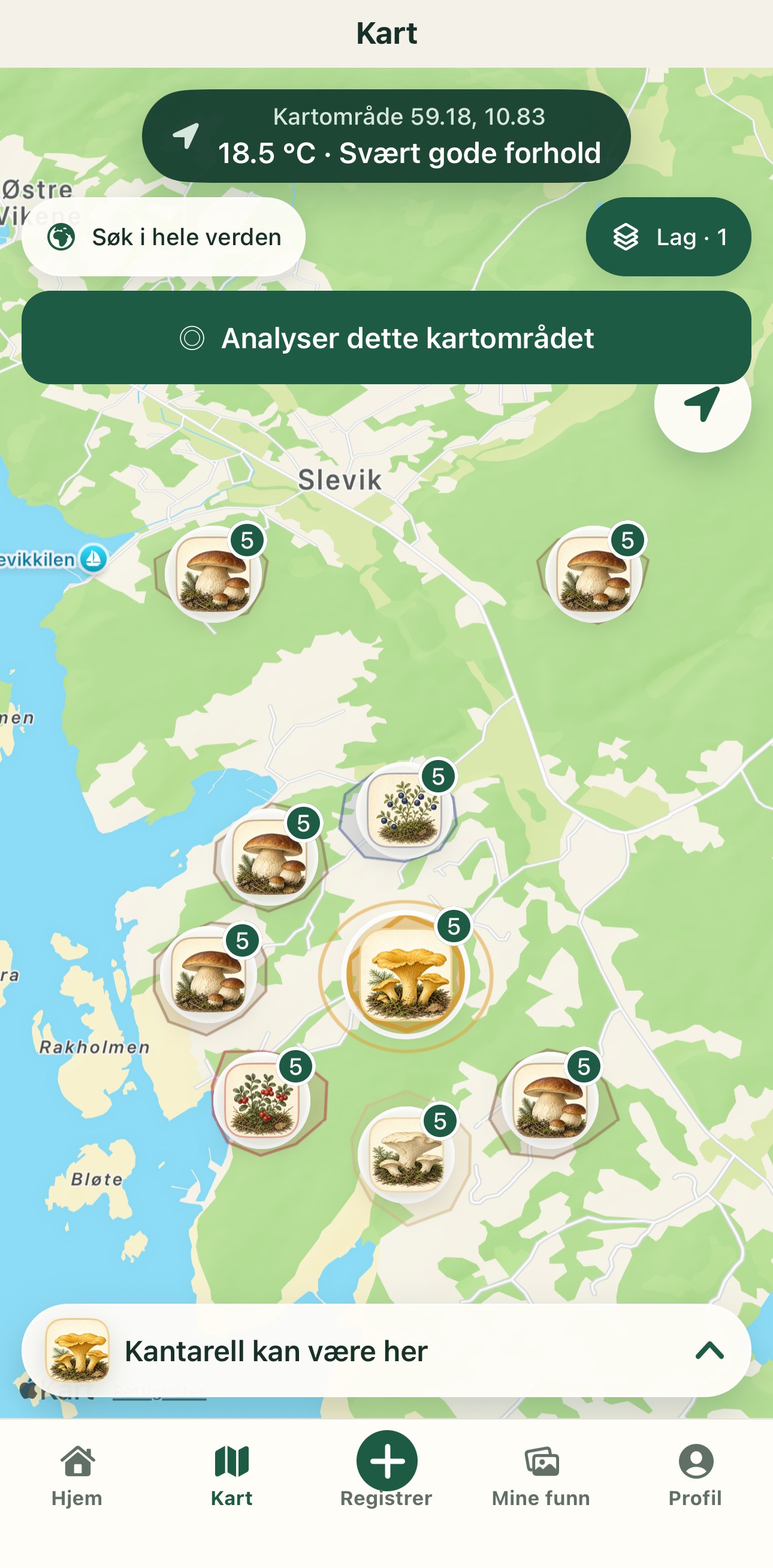
Mycoverse does more than place a marker. It provides a qualitative view of the signals behind your trip plan, and clearly shows when data is missing or coarse.

Mycoverse combines global and regional signals to assess where conditions may be more promising. Coverage and quality vary by region, and the app always communicates uncertainty.
Choose what to look for, understand the area and take the plan outdoors.
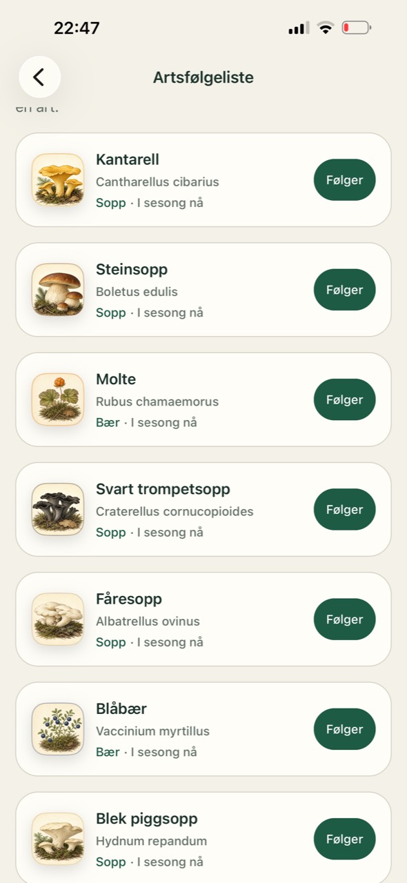
Compare current species and open the area that fits your trip.
Keep the active trip visible, use field tips and save findings without leaving Trip Mode.
See time, distance and findings together, then share only what you choose.
Species library
Open source-reviewed species profiles before your outing. See when a species usually appears, where to search and which features need further checking.
Build knowledge through source-reviewed modules, field tasks and comparisons across the whole mushroom year.
The knowledge test is training, not an official mushroom-expert examination.
Create a mushroom outing, find a trip companion and keep practical information in one group.
Premium gives you more planning, more species and more explanation throughout the season.
Choosing Premium supports the continued development of Mycoverse.
You own your data. Keep a finding private, share it with selected people, or publish it with the location precision you choose. Export or delete your data at any time.
Read our privacy policyPhoto suggestions and map assessments cannot confirm species, findings or edibility. Use a qualified mushroom inspection service before consumption.
Available for iPhone and Android. Developed in Norway.